
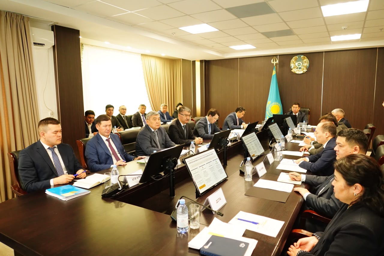
At a meeting of the board of the Ministry of Agriculture of the Republic of Kazakhstan, chaired by Minister Aidarbek Saparov, measures to combat soil erosion were discussed. A total of 117.7 million hectares of land are in use, including 26.5 million hectares of arable land, 83.9 million hectares of pastures, and 2.4 million hectares of hayfields. Vice Minister Azat Sultanov reported that specialists from GIPROZem have updated electronic degradation maps covering an area of 53.5 million hectares. The area of degraded land in the surveyed territories amounts to 2.7 million hectares (about 5%).
Monitoring of all 182 million hectares of agricultural land is planned to be completed by 2029. The Mazhilis is considering a draft law "On Soil Protection," which mandates mandatory agrochemical surveys of agricultural land every 3–5 years, the introduction of a "land passport," and the digitization of land commissions. Chairman of the Committee for Land Resources Management Murat Temirzhanov noted that the digitization of agricultural land has been 100% completed. By 2027, it is planned to implement AI to identify unused plots, degraded zones, analyze erosion and salinization, forecast yields, and calculate fertilizer needs.
A pilot project for soil carbon monitoring is being developed to track carbon content dynamics and attract "green" investments. Since 2022, 15 million hectares have been returned to state ownership, 11.3 million hectares have been redistributed, of which 4.2 million hectares have been transferred for common use. The pasture deficit has been reduced to 3.5 million hectares.